Introduction
The River Ganga, also known as the Ganges, is one of the most important rivers in the Indian subcontinent. Declared the national river of India, it is not only a sacred waterway but also a geographical lifeline that sustains millions of people. The Ganga Basin drains nearly 1,000,000 square kilometers (390,000 sq mi), making it one of the largest river basins in the world. This basin supports one of the most densely populated regions, providing fertile soil, irrigation, and livelihood opportunities to millions. Jawaharlal Nehru, in his book Discovery of India (1946), highlighted the symbolic meanings of the Ganga, emphasizing its role in shaping India’s civilization and culture.
Origin and Course
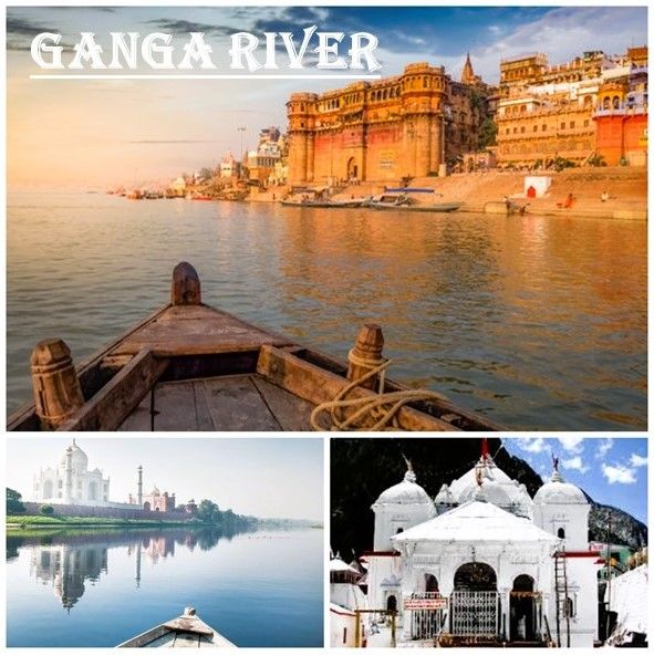
The Ganga originates from The Gangotri Glacier in Uttarakhand, at Gaumukh in the western Himalayas. From its source, the river travels a length of approximately 2,525 kilometers (1,569 miles) before draining into the Bay of Bengal through the Sunderbans delta. Along its journey, the Ganga flows through India, Nepal, and Bangladesh, making it an international river of immense importance.
The river passes through several major Indian cities, including Haridwar, Moradabad, Rampur, Allahabad (Prayagraj), Kanpur, Patna, and Varanasi, before reaching Rajshahi in Bangladesh. Historically, many imperial and regional capitals such as Pataliputra, Kannauj, Allahabad, Kara, Kolkata, and Murshidabad were established along its banks, highlighting its strategic and cultural significance.
Tributaries and Flow
The Ganga is joined by numerous tributaries, including the Kosi, Son, Gandak, and Ghaghra rivers. These tributaries enhance its volume and create a formidable current, particularly in the stretch between Allahabad and Malda in West Bengal. On its way, the river flows past towns such as Soron, Ghazipur, Bhagalpur, Mirzapur, Ballia, Buxar, Saidpur, and Chunar. At Bhagalpur, the river meanders past the Rajmahal Hills and begins to flow southward, eventually reaching the delta region.
The average depth of the Ganga is about 52 feet (16 meters), with a maximum depth of 100 feet (30 meters). Its vast basin and strong currents make it a vital waterway for agriculture, transportation, and cultural practices.
The Gangetic Plains
The Ganga drains the fertile Gangetic plains, which are among the most productive agricultural regions in the world. Almost half of India’s population lives within 500 kilometers of the Himalayan ranges along these plains, relying heavily on the river for sustenance. The alluvial soil deposited by the Ganga and its tributaries supports intensive farming, making the region the breadbasket of India.
Agriculture and Economy
The Ganga Basin plays a crucial role in the agricultural economies of India and Bangladesh. The river and its tributaries provide a constant source of irrigation, enabling the cultivation of major crops such as rice, wheat, lentils, sugarcane, potatoes, and oilseeds. Along the banks, swamps and lakes enrich the soil, allowing for the growth of crops like legumes, chilies, sesame, mustard, jute, and sugarcane.
Fishing is another important activity along the river, though pollution has severely impacted fish populations and aquatic biodiversity. Despite these challenges, the Ganga continues to sustain millions of livelihoods, making it indispensable to the region’s economy.
Conclusion
The Geography of the River Ganga reflects its immense importance as both a natural and cultural resource. From its Himalayan origin to its delta in the Bay of Bengal, the Ganga supports agriculture, provides irrigation, and sustains one of the most densely populated regions in the world. Its fertile basin has nurtured civilizations, supported economies, and shaped the cultural identity of India and Bangladesh. Protecting and preserving this river is vital, not only for ecological balance but also for the continued prosperity of millions who depend on its waters.